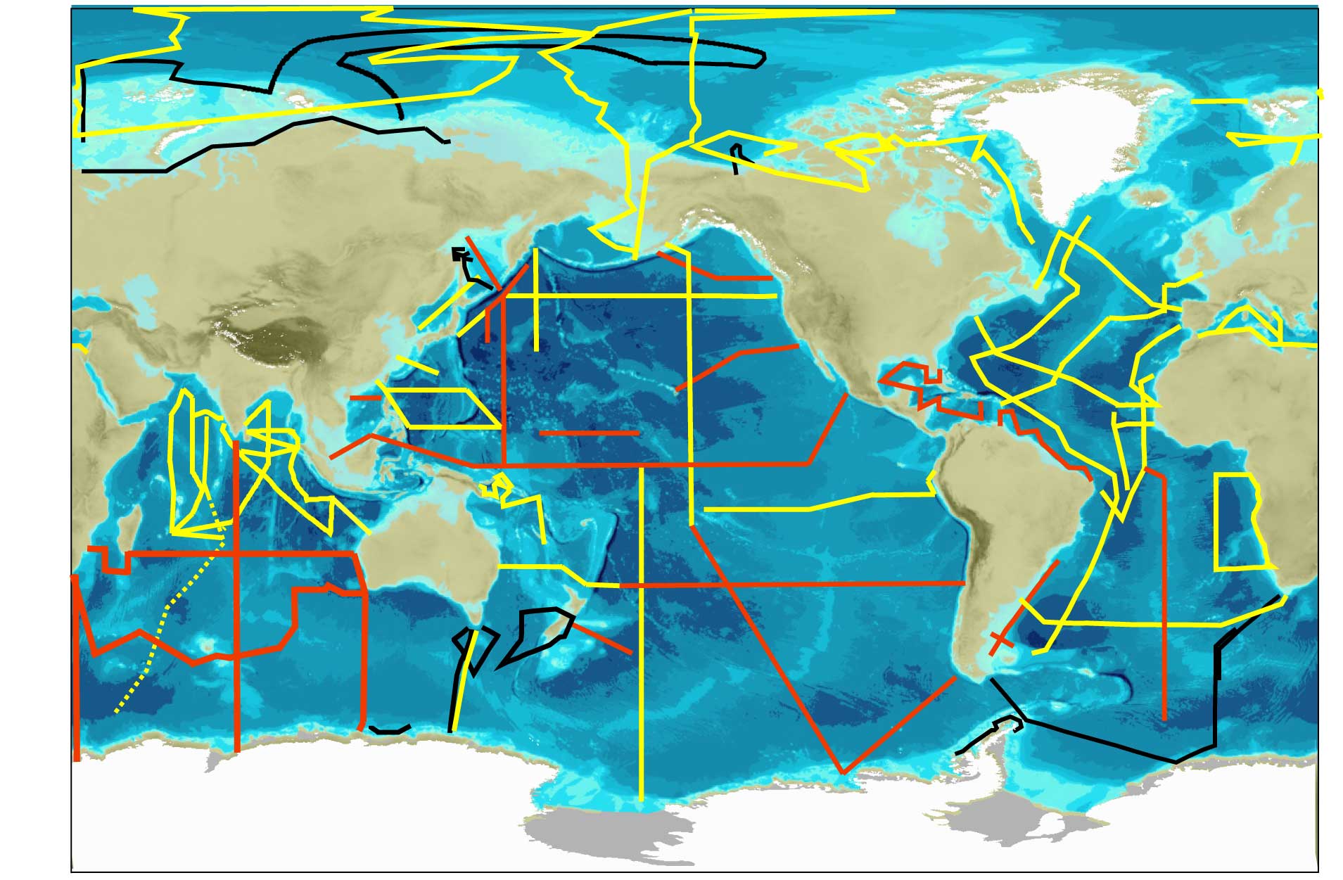
The central focus of the programme is a series of cruises – GEOTRACES Sections – that cover the global ocean to map the distribution of trace elements and isotopes and to access the processes that control this distribution. These GEOTRACES Sections are shown in the map below. GEOTRACES Section cruises must follow the ‘Criteria for Establishing GEOTRACES Ocean Section cruises‘ and be approved by the International GEOTRACES Scientific Steering Committee.
The programme also endorses a number of studies that focus on particular regions or processes – GEOTRACES Process Studies. They must follow the “Criteria for Establishing GEOTRACES Process Studies” and be approved by the International GEOTRACES Scientific Steering Committee.
In addition, GEOTRACES also collates appropriately intercalibrated trace element and isotope data from other cruises as GEOTRACES compliant data. These data must meet the “Criteria for GEOTRACES Compliant Data” and be approved by the International GEOTRACES Steerting Committee.
Information about GEOTRACES cruises is maintained by the GEOTRACES International Data Management Centre (GDAC) at the British Oceanographic Data Centre (Liverpool, United Kingdom). For cruise information, please click here.
Investigators planning a GEOTRACES cruise are encouraged to contact GDAC (geotraces.dac@bodc.ac.uk), to ensure that information about their cruise is included in the web site and the map below.
You may also view the GEOTRACES Data Policy on the GEOTRACES International Data Management Centre site.

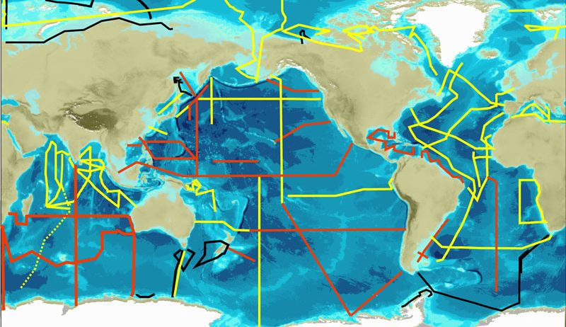
GEOTRACES sections.
In red: Planned Sections. In yellow: Completed Sections. In black: Sections completed as GEOTRACES contribution to the IPY.
Click here to download the map.
For more information, please visit the GEOTRACES International Data Management Centre web site.

